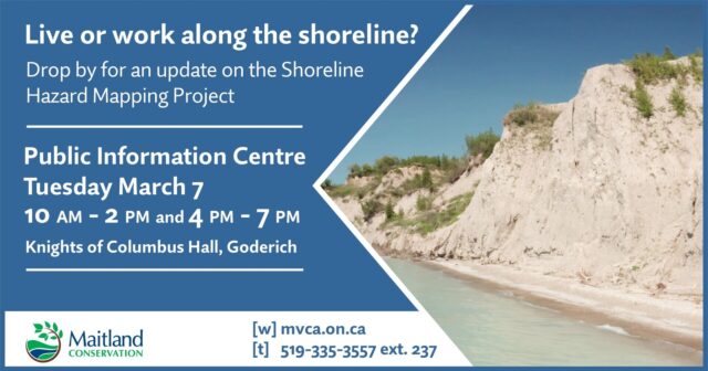
The Maitland Valley Conservation announced it is wrapping up a 3-year project to update its shoreline hazard mapping along their stretch of the Lake Huron shoreline.
A Public Info Centre is beind held today from 10 am until 2pm and 4 until 7pm at the Knights of Columbus Hall where staff will be on hand to review the mapping with landowners and answer any questions they may have.
The updated mapping is aimed at giving them an improved tool to help reduce the risk of loss of life and property damage due to flooding and erosion.
The project does not involve changing the Conservation’s shoreline policies.
The draft mapping is available at a link below.


