The Grey Bruce Health Unit has released an updated Lyme Disease Map including new estimated risk areas in the area.
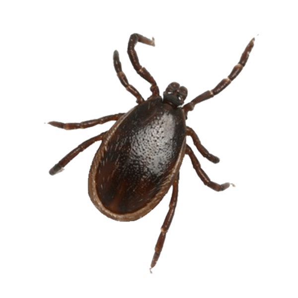
Two more parts of the region are now considered estimated risks due to the discovery of blacklegged ticks, which can carry the bacteria that can cause the illness.
Estimated risk areas area calculated as a 20 km radius from the centre of the location where blacklegged ticks are found through drag sampling.
The areas are in the western park of Grey-Bruce, near the Lake Huron shoreline, including parts of Northern Bruce Peninsula, South Bruce Peninsula, Georgian Bluffs, Saugeen Shores, Arran-Elderslie and Kincardine.
The full map is available at the link below.


